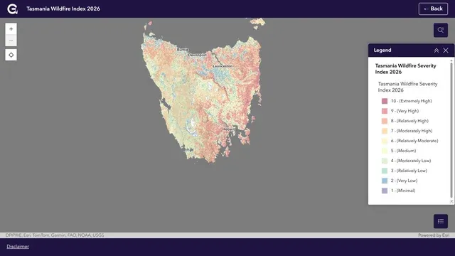
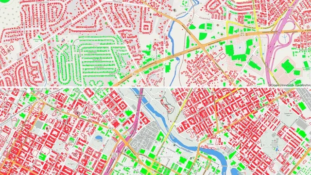
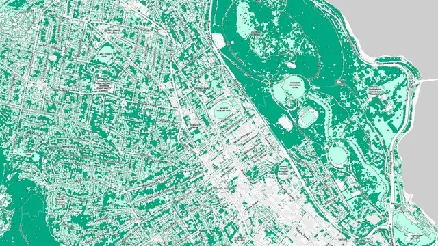
Led statewide data preparation, analysis and delivery QA for Geoneon's published 2026 Wildfire Index, assessing 450,356 building footprints across Tasmania.
Published coverage
Tasmania · 450,356 footprints
Outcome
Delivered the data and analysis underpinning Geoneon's statewide 2026 Wildfire Index.
Technical differentiator
Led source preparation, large-scale processing, spatial validation and publication-ready data delivery.
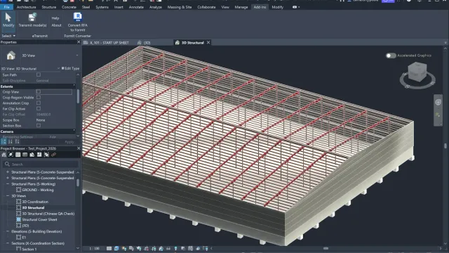
Migrating Australia's national grip strength athletics platform from a legacy GoDaddy site builder to a component-driven Astro static site, improving page speed, mobile navigation, and competition discovery.
Performance
95/100 desktop
Outcome
Migrated the national Grip Sport page to a static Astro architecture, establishing a 95/100 desktop performance baseline.
Technical differentiator
Replaced hosted builder lock-in with zero-JS static HTML, responsive competition scorecards, and edge deployment.
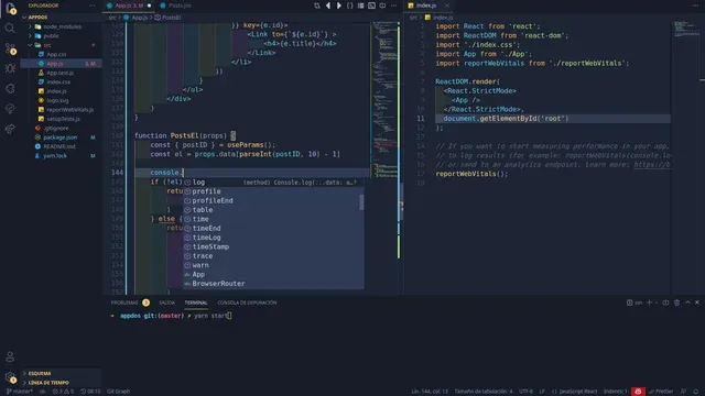
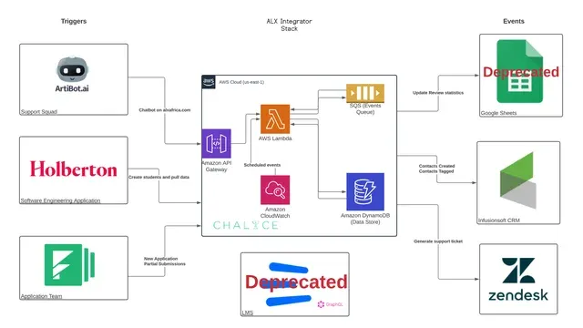
Specification-driven agent workflows, repository-level governance, deterministic test harnesses, and human verification across spatial data and web platforms.
Workflow
5 reviewed stages
Outcome
Established repository governance and automated test harnesses that keep autonomous coding agents constrained to verified specifications.
Technical differentiator
Enforced strict AGENTS.md operational boundaries, deterministic CI verification, and mandatory human review before merge.
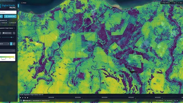
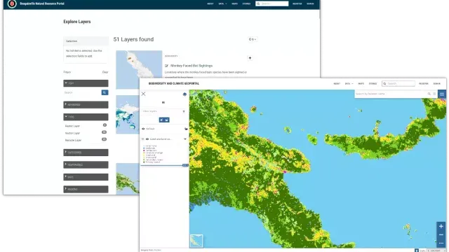
Two separate initiatives: satellite vegetation-height validation in the Pacific, and building-level population allocation and open-data training in Laos.
GEDI footprint diameter
~25 metres
Outcome
Validated Pacific vegetation-height products; separately developed building-level population exposure workflows and training in Laos.
Technical differentiator
Compared satellite grids with GEDI reference footprints in the Pacific and preserved administrative population totals during allocation in Laos.
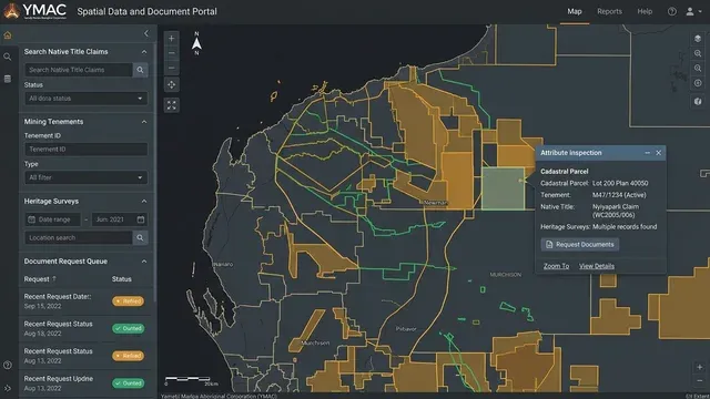
Django web portal, PostgreSQL/PostGIS databases, GeoServer, and FME automation managing 12+ years of historical spatial records and legal tenure datasets.
Data sources
20+ sources across Western Australia
Outcome
Maintained the operational Django web portal and PostGIS geodatabases holding over 12 years of native title and heritage records.
Technical differentiator
Centralised legal tenure, heritage, and cadastral datasets from 20+ source feeds into a single audited spatial portal using FME Server and GeoServer.